
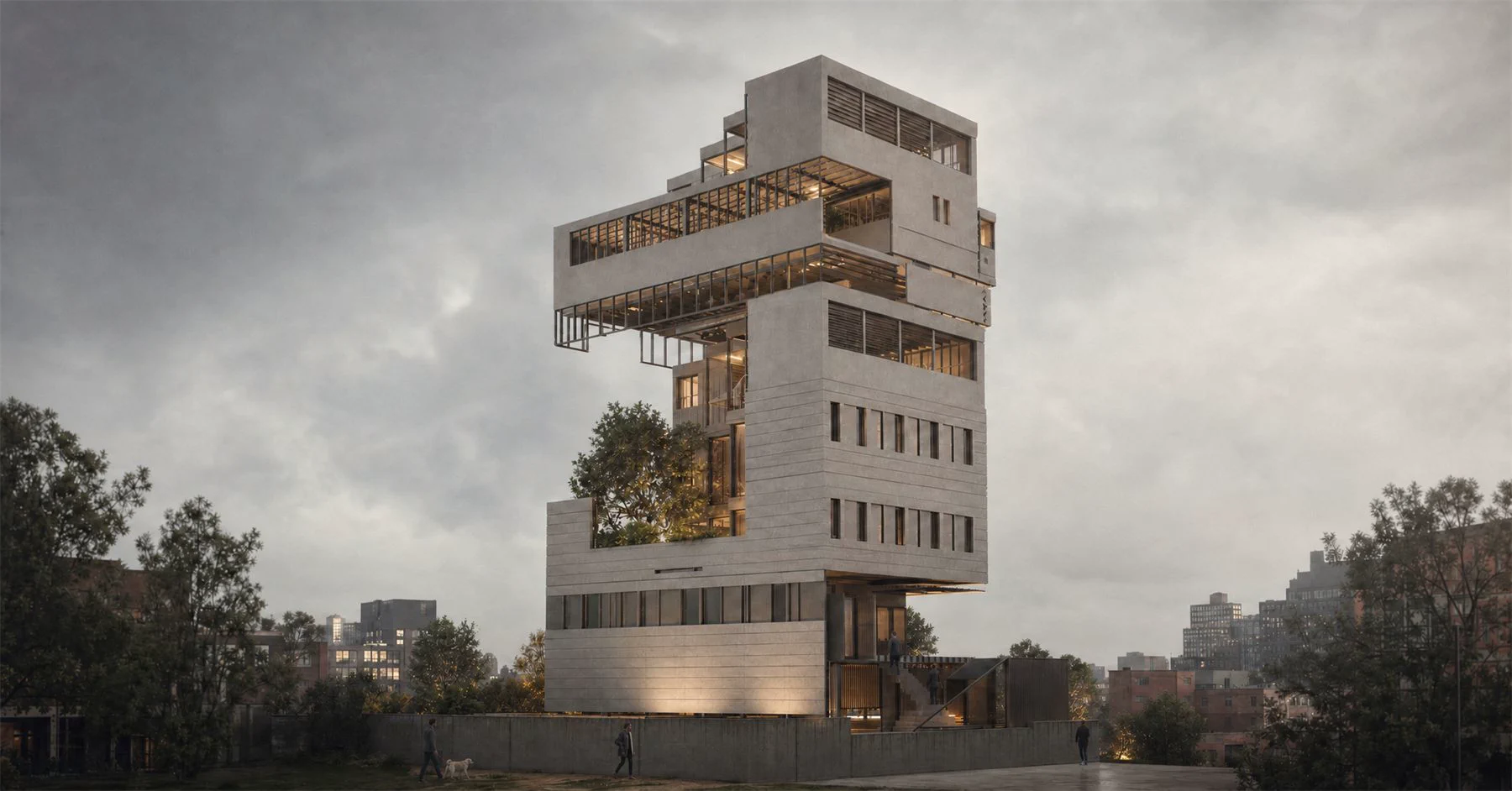
The brief
Eleven storeys of 1964 concrete, a deep plan, and a frontage that has never properly faced the river. The client asked for housing. The planners asked for a public route through the ground floor.
Neither party wanted the frame demolished, so the question was never whether to keep it. The question was how much of it had to change.
I opened one canvas, dropped in the survey photographs and two elevation scans, and wired them into a Sketch Renderer block. Everything below came out of that canvas over about nine days.
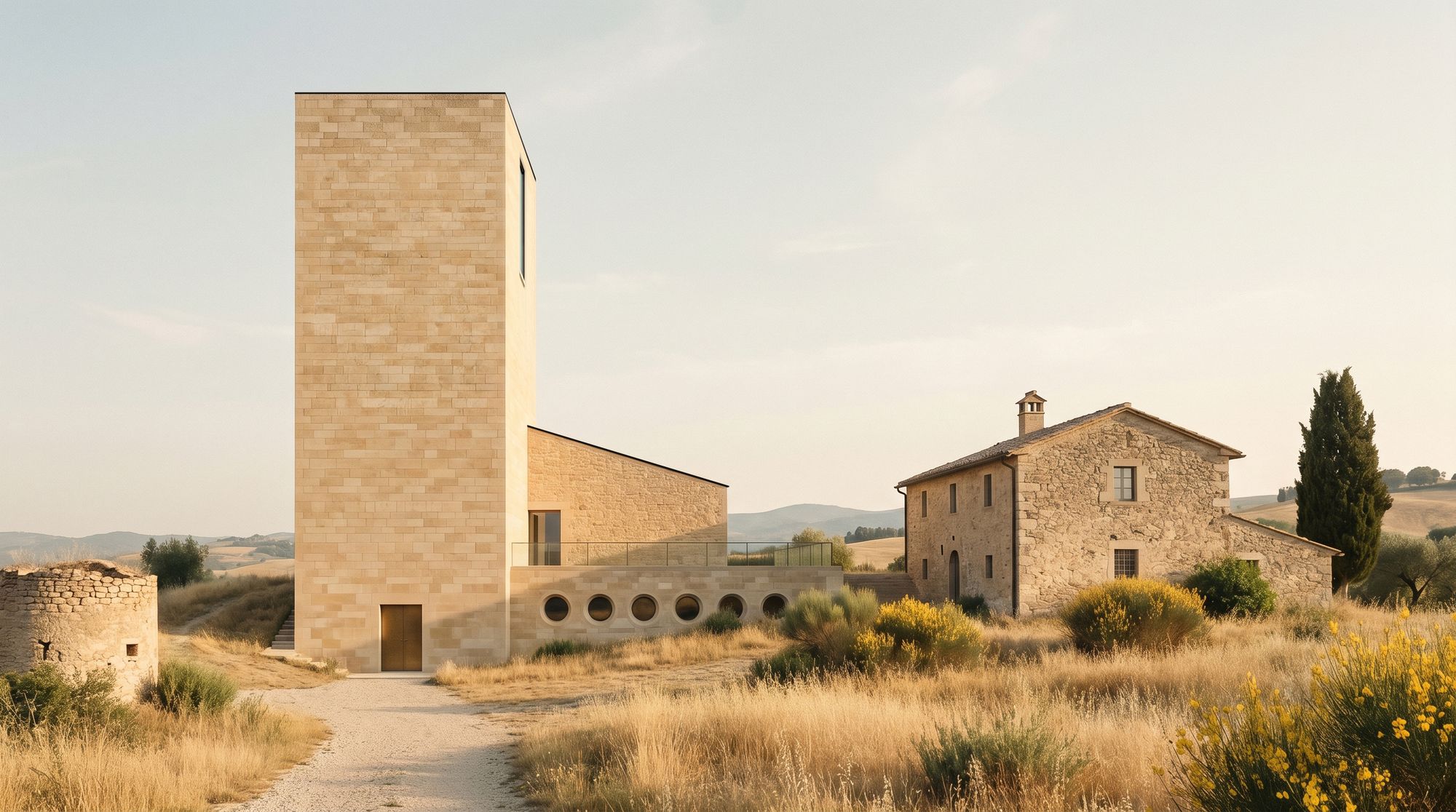
Three options
We ran the reuse strategies side by side rather than in sequence.
"The frame was never the constraint. The ground floor was."
What we kept
Option 02 went forward, but not intact. The public cut survived review; the two-bay removal did not.
Structure came back with a single-bay opening and a taller soffit, which reads almost the same from the pavement and costs far less to prop.
The material study barely moved after the first afternoon: precast in a warm grey, dark reveals, and no cladding change above the fourth floor.
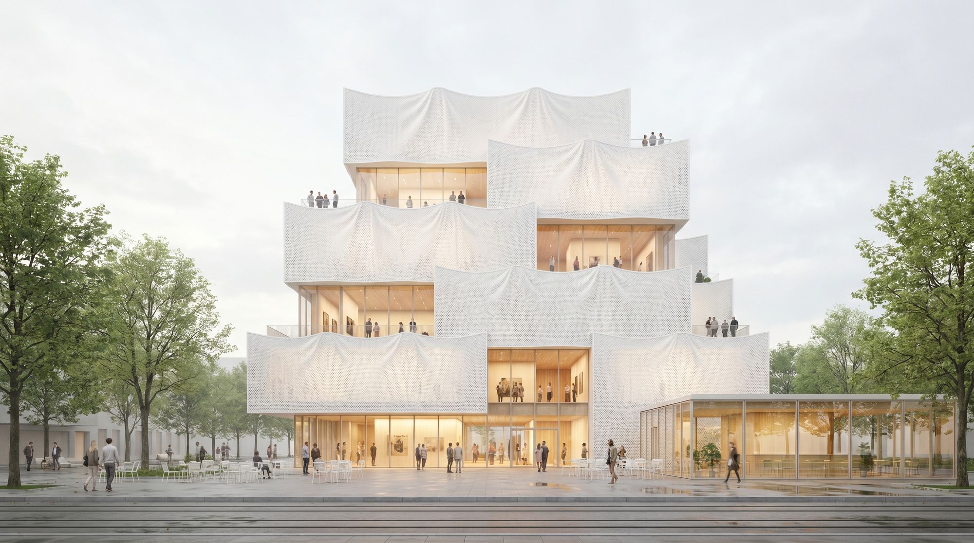
Where the site changed it
The river frontage is the part the canvas got wrong for the longest. Every early render put the entrance on the water side, because that is where the light is.
Walking the site, the real approach is from the south, through a service yard nobody had photographed. We re-shot the approach, wired the new plates into the same reference block, and re-ran the sequence. The entrance moved. Nothing else had to.
More notes.
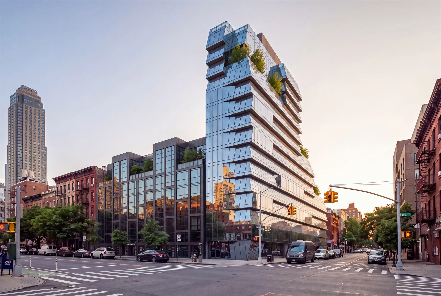
Rejected studies visible

Mira tags eighteen rejected views by reason, turning old options into a sharper review board.
Read More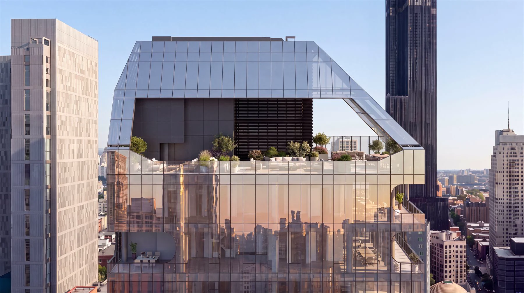
Material prompt session

Loki builds a material prompt board from pinned references, one-word passes, and stop rules.
Read More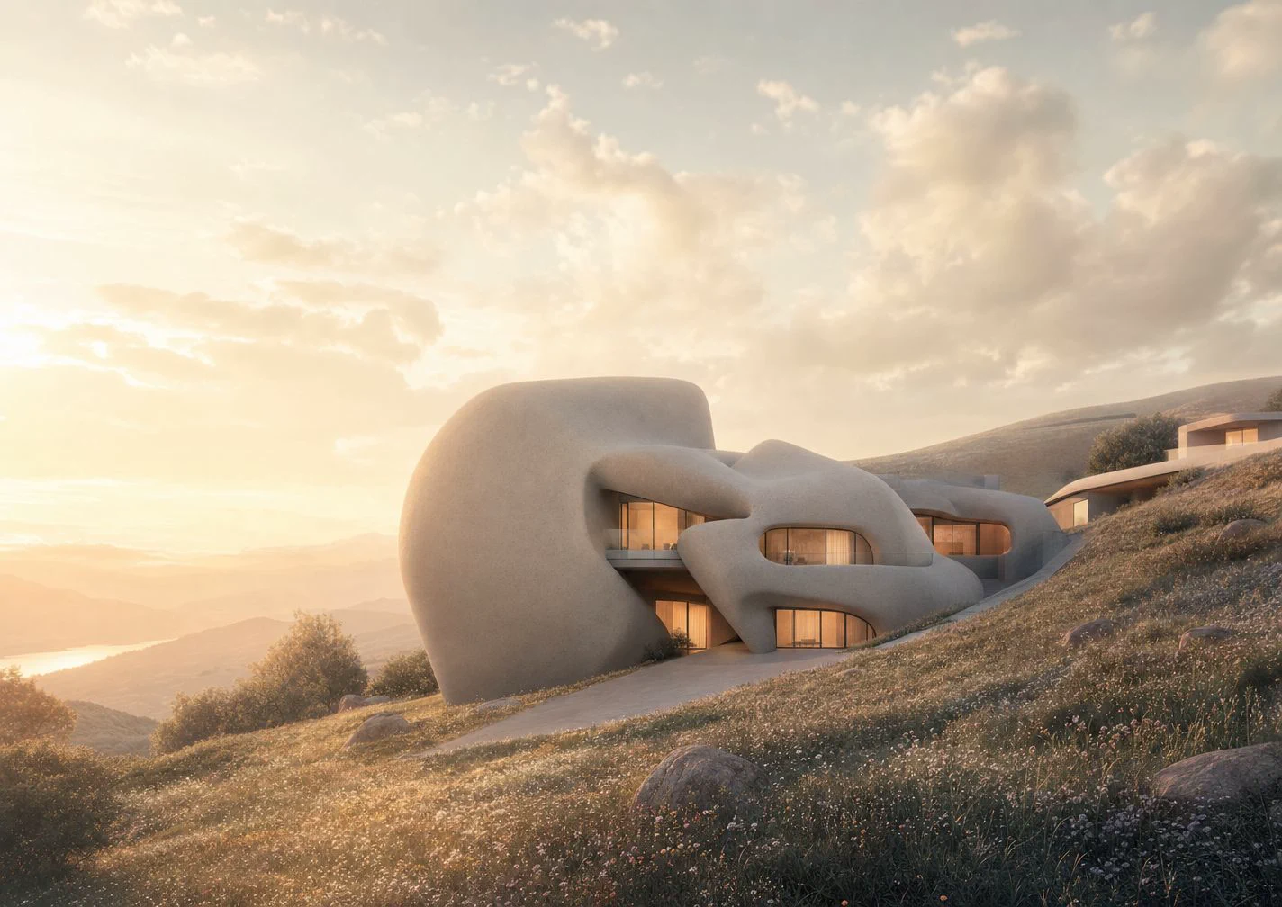
Lake pavilion edge

Nora tests path, threshold, seating, and waterline until the pavilion reads as a public edge.
Read More